
Manu’s National Park is an investigation center and also a touristic destiny in Peru, it’s shared by two Peruvian regions: Cusco and Puerto Maldonado.
PeruAmazonTrips will help you to understand this significant area’s history and its current division to plan your visit better.
It’s total extension occupies a not detachable area of 1 909 800 ha. This huge area is divided in three main zones destined to different purposes. First we have the National Park itself, this area occupies the majority of the Reserve with 1 532 806 ha. Secondly the Reserved Zone’s extension is of 257 000 ha. Finally the Cultural Zone has the remaining 120 000 ha.
Legends appoint that the legendary Paititi or the lost city of the Incas remains hidden in this place. The reality is that the Park exists amidst two main Amazon’s River affluents, the Manu River and the Alto Madre de Dios River going from 300 m.a.s.l to 3800 m.a.s.l.
HISTORY OF THE MANU NATIONAL PARK
Inca – Colonial Period
The Manu Park zones’ area has a history marked by the arrival of outsiders, from the time of the Inca Empire when Inca Pachacutec and Tupac Inca Yupanqui annexed this area to their empire, until the arrival of the Spaniards who, shortly after the invasion of Cusco, founded the town of Paucartambo, where they established haciendas and encomiendas, and where King Carlos III of Spain also ordered the construction of a bridge to facilitate trade of products from the area; this is how this valley began to supply Cusco with products such as coca, sugar, cotton, chili peppers, wood, and others.
In March 1567, the Spaniard Juan Álvarez Maldonado, in charge of the province of Mojos, undertook a 37-day journey to make the first expedition from Paucartambo to the present-day town of Pillcopata. In May of the same year, Manuel de Escobar mounted a second expedition that followed the course of the Alto Madre de Dios River to the Manu River.
Republican Era
In 1861, Colonel Faustino Maldonado undertook a new expedition from Paucartambo towards the Madre de Dios River. It was in honor of him that 30 years later, the rubber baron Carlos Fitzcarrald would name the mouth of the Tambopata River as Puerto Maldonado, the current capital of the department of Madre de Dios.
Extractive activities in the late 19th century affected indigenous populations in the lowland jungle. The rubber exploitation marked the beginning of daring enterprises, such as Fitzcarrald’s enterprise. Fitzcarrald was one of the most famous rubber barons of his time. Nevertheless, people only partially exploited the Manu area. Rubber activities ceased in the 1920s when the resource, unable to recover from intensive exploitation and competition from the prosperous and less costly crops on the Asian continent, began to decline.
Between the 1950s and 1960s, the construction of the final stretch of the road led to the extraction of cedar and mahogany timber, the work of haciendas, and subsequently the extraction of fine furs (jaguar, ocelot, and river wolves). More recent activities include oil exploration. Meanwhile, in the Andean zone, agricultural activities were affected by the agrarian reform initiated in 1969.
Religious Expeditions
From the 20th century onward, religious presence became more significant. In 1902, the Dominican fathers founded their first mission in Asunción. In 1908, they established the second missionary post, San Luis del Manu, at the mouth of the Manu River. After abandoning this post, they settled at the Pantiacolla mission. A flood devastated the Pantiacolla mission, so in 1958 they definitively located the mission in Shintuya.
The Manu Biosphere Reserve contains testimonies of ancient cultures, such as the Pusharo petroglyphs, a set of engravings whose origin and meaning remain unexplained. Father Vicente de Cenitagoya first reported these petroglyphs in 1921. They are located on the right bank of the Shinquivenia River, a tributary of the Palotoa River. The Reserve holds other petroglyphs on the Queros River, specifically on the great rock “Xinkiori,” which is legendary for the Huachipaeri people. Likewise, there is knowledge of an archaeological site in the Mameria area, located in the headwaters of the Piñi Piñi River.
Manu’s National Park Foundation
In 1967, Celestino Kalinowski, son of a famous Polish naturalist who arrived in Peru in 1887, initiated the recommendation for the Peruvian state to create a National Park in Manu.
The British advisor Ian Grimwood also provided a report supporting this recommendation. In 1968, Peru declared the area a National Forest. Subsequently, on May 29, 1973, Peru established the Manu National Park through Supreme Decree 0644-73-AG. The decree aimed to preserve the natural and cultural heritage for the benefit of present and future generations. This same purpose led UNESCO to recognize the Manu Biosphere Reserve, which now encompasses a territory of 1,881,200 ha (18,812 km²) in the provinces of Paucartambo in Cusco and Manu in Madre de Dios.
Authorities drew the boundaries applying the principle of natural boundaries and watershed domains. However, the boundary of the Park on the Manu River itself had to stop at the confluence with the Panahua River due to an existing oil exploration.
DISTRIBUTION OF THE MANU NATIONAL PARK
The Core Zone
Also called the Manu National Park, it is intended for protection, more than in other Manu Park zones, and only anthropological and biological research activities limited to observation of life and ecological processes in their natural form are permitted; the Park contains the Cocha Cashu Biological Station, one of the most important research centers for tropical forests. The place is untouchable, and to visit it requires special authorization. This same area hosts human populations of Amazonian natives belonging to different ethnic groups. These groups have inhabited the area since immemorial times. Their number estimates to about 1,000 indigenous people. However, the Callanga area also has a Quechua population of approximately 200 people.
The Buffer Zone
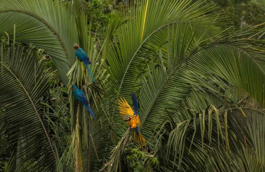
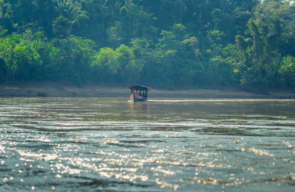
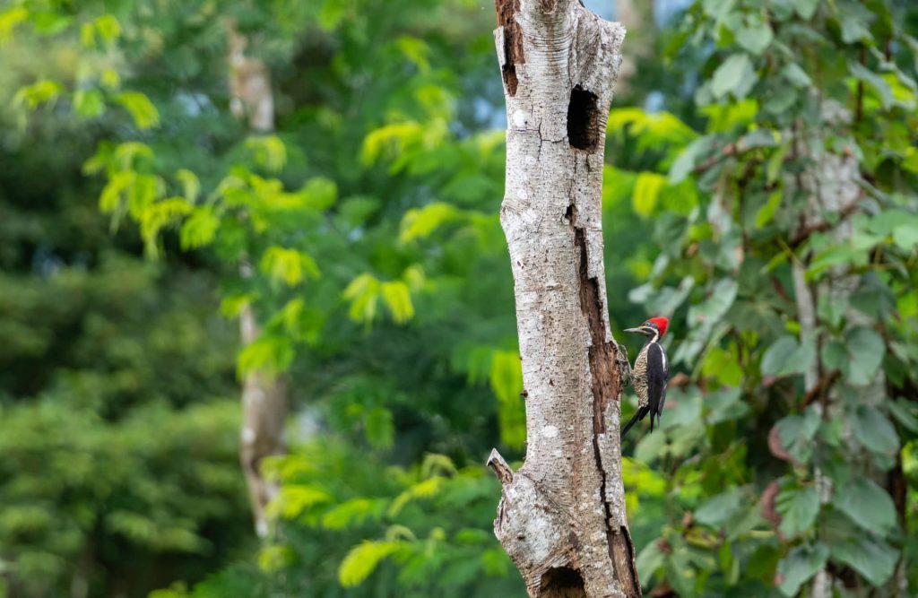
This area, also called the Manu Reserved Zone, locates in the lower part of the Manu River. Authorized agencies organize and permit tourist activities in this area. The area also permits research with minimal manipulation. It is possible to observe a great richness of landscapes and nature due to the large amount of visible flora and fauna from the rivers and “cochas” (meanders of the river that close and become isolated from the main channel, forming lagoons that maintain a great wealth of fauna). Visits are controlled as in the other Manu Park zones. It extends from the Panagua River gorge to Boca Manu.
The Transition or Cultural Zone
This area is made up of the Alto Madre de Dios River basin and the high Andean territories that border the southern part of the reserve, between the dividing line of the National Park and the Mapacho River. In this zone, the populations of settlers who carry out agricultural, livestock, and forestry activities predominate, and they have basic health, education, and development services, although in an incipient way. Ecological activities are allowed in difference of other Manu Park zones.
Around the Manu Biosphere Reserve, there are other areas. These include the Territorial Reserve of the State. This reserve favors the Kugapakori and Nahua Ethnic Groups. The Megantoni Sanctuary is another area. The Amarakaeri Reserved Zone is also nearby.
These territories are considered for integration. The territories of the Mapacho River basin are considered. The expansion of the current cultural zone is considered. This zone would later be called the Multiple Use Zone. The Andean and Amazonian Multiple Use Zone.
Studies and proposals consider integrating these areas. The integration would be into the Manu Biosphere Reserve.
Conclusion
Mysteries of this incredible natural wonder are still on the table, it is crucial to uphold the principles of responsible stewardship and respect for the indigenous cultures that have coexisted with these ecosystems for millennia.
PeruAmazonTrips has many years dealing with tours to this unique biosphere under its belt. We’re aware of Manu National Park’s role as a beacon of hope, reminding us of the importance of preserving our planet’s irreplaceable treasures for generations to come.
Contact us now and let’s begin with your adventure’s arrangements!